
 I Want To

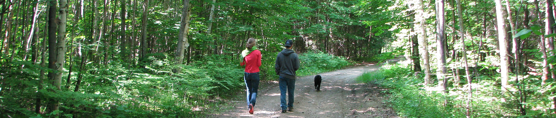
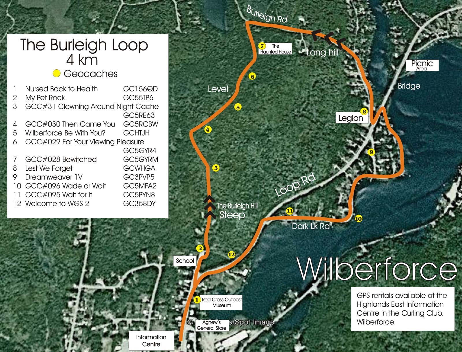
The Burleigh Loop Trail
The Burleigh Road was one of the original Colonization Roads created in the 1840s and 50s to open up the area for settlement. This four km loop starts at the parking lot at the Visitor Information Centre in the Curling Club and takes you by Agnew's General Store (almost 100 years old), the Red Cross Outpost Museum (a National Historic Site), Wilberforce Elementary School (over 100 years old), the remnants of the haunted house, the Royal Canadian Legion on the Burleigh Rd. and along the shore of Dark Lake. It is a mix of wooded trail and quaint country roads. Veering off the route to cross over the bridge takes you to a quiet roadside picnic area (with washroom).
There are a number of geocaches hidden along the route. A pre-loaded GPS and a booklet detailing the caches can be rented at the Visitor Information Centre. For more on geocaching, visit the Geocaching Capital of Canada website.
Contact Us
 Subscribe to this Page